Hello AO Users, we are excited to offer new flexibility to visualize files on the platform. Please check out the new features found in this week's release.
Maintenance Enhancements:
- Allow identification of Z direction when visualizing elevation data. This allows for more flexibility and better support of data coming from third party software platforms which use the opposite of AO's Z+ up convention.
- Users may now define the min and max values for the display legend when visualizing grid and point cloud data. This allows for multiple data sets to be visualized using the same color range for seamless product review.
- Support for imagery Geotifs has been expanded to include 8 and 32 bit single channel common for applications such as Hypack sidescan data.
- Users can now select the color to use when visualizing vector files like ESRI Shape and kml/kmz.
- Performance improvements have been made to support larger vector files including large numbers of overlapping point objects. These points are now clustered when viewing a large area.
- We have Improved file scanning that will automatically populate options during the visualization dialog for Geotifs.
- Updated the refresh operations when making multiple area measurements to remove lingering screen text.
- Additional “.” in filenames are now supported
- Added stability for zip files when uploading and downloading
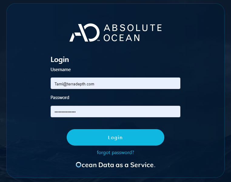
- The AO login screen has been updated to include our new Ocean Data as a Service branding.