Major Enhancements
- We are thrilled to announce that we support US tidal datums, you can now upload data in US tidal datum and AO will convert the visualization into WGS84. Note that your file remains unchanged, the transformation is only to ensure that all grids, elevation values and profile lines in AO are displayed relative to WGS84
Enhancements to Existing Functionality
-
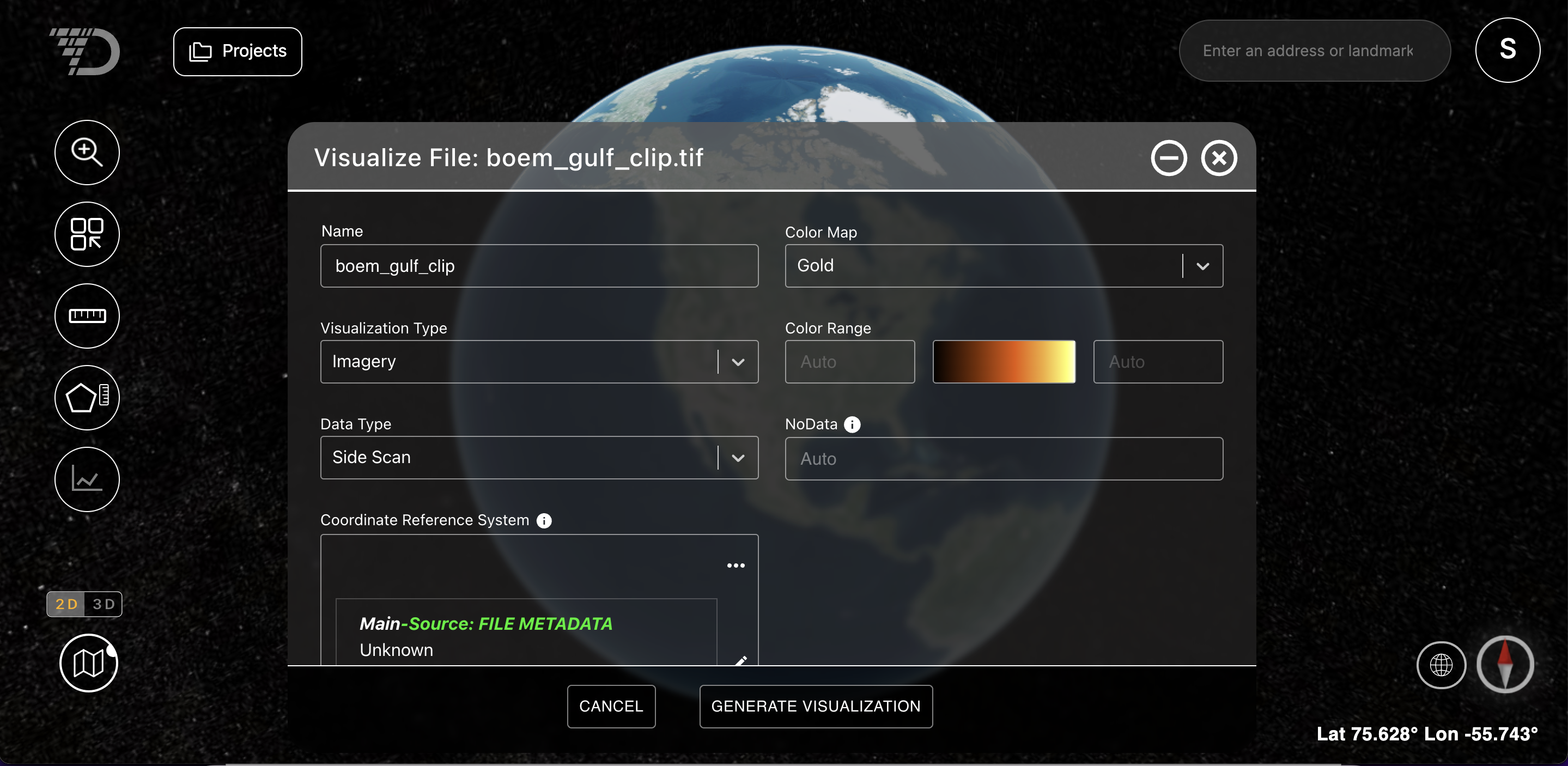
NoData is a term for null values in raster datasets that indicate that no measurements have been collected for a pixel. In AO, the NoData value is automatically read from the file header information and set to ensure data accuracy. Please only change the value of the input field on the File Visualization screen if you are confident you need to change this value and know what the accurate NoData value in your data set is.