Enhancements
Label locations or areas
We’re pleased to introduce the new labeling feature in Absolute Ocean, designed to enhance collaboration and analysis. This feature allows you to mark specific locations or areas within AO using Objects.
- Admins and Professionals can create and manage Objects, while Admins, Professionals, and Users can view them.
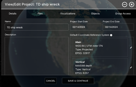
- Each Object is associated with a project, and a new Objects tab has been added to the View/Edit Project pop-up for easy access.
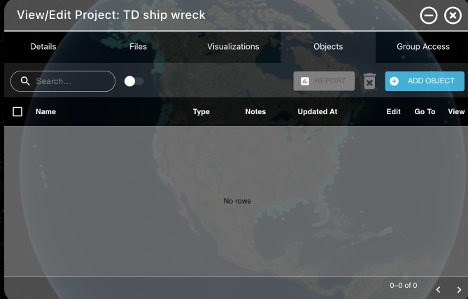
Select the Objects tab to add an Object or see Objects associated with the Project.
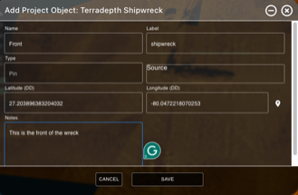
Press the ‘Add Object’ button to start adding an Object (only visible for Admins and Professionals). Add Name, Label, select Type (Pin or Polygon), Source, Lat/ Long and Notes. If you prefer to point to the location where the pin should be placed, press the pin next to the long input field and select the location, the lat/ long will be filled in for you.
When the eye next to the Pin is green, it’s turned on.
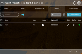
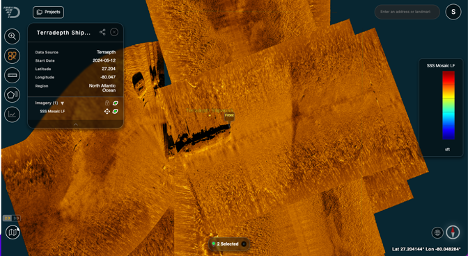
Press the diamond “Go To” button to go to Object.
You can edit and delete the Object from the Objects tab in Projects.
Keep in mind that when you share a view using the ShareView link, any Objects displayed will be shared also and AO user with access to the data and an Admin, Professional or User license will view the Object as part of the ShareView. This makes it an excellent tool for team collaboration and better, more informed decision making.
New layers window
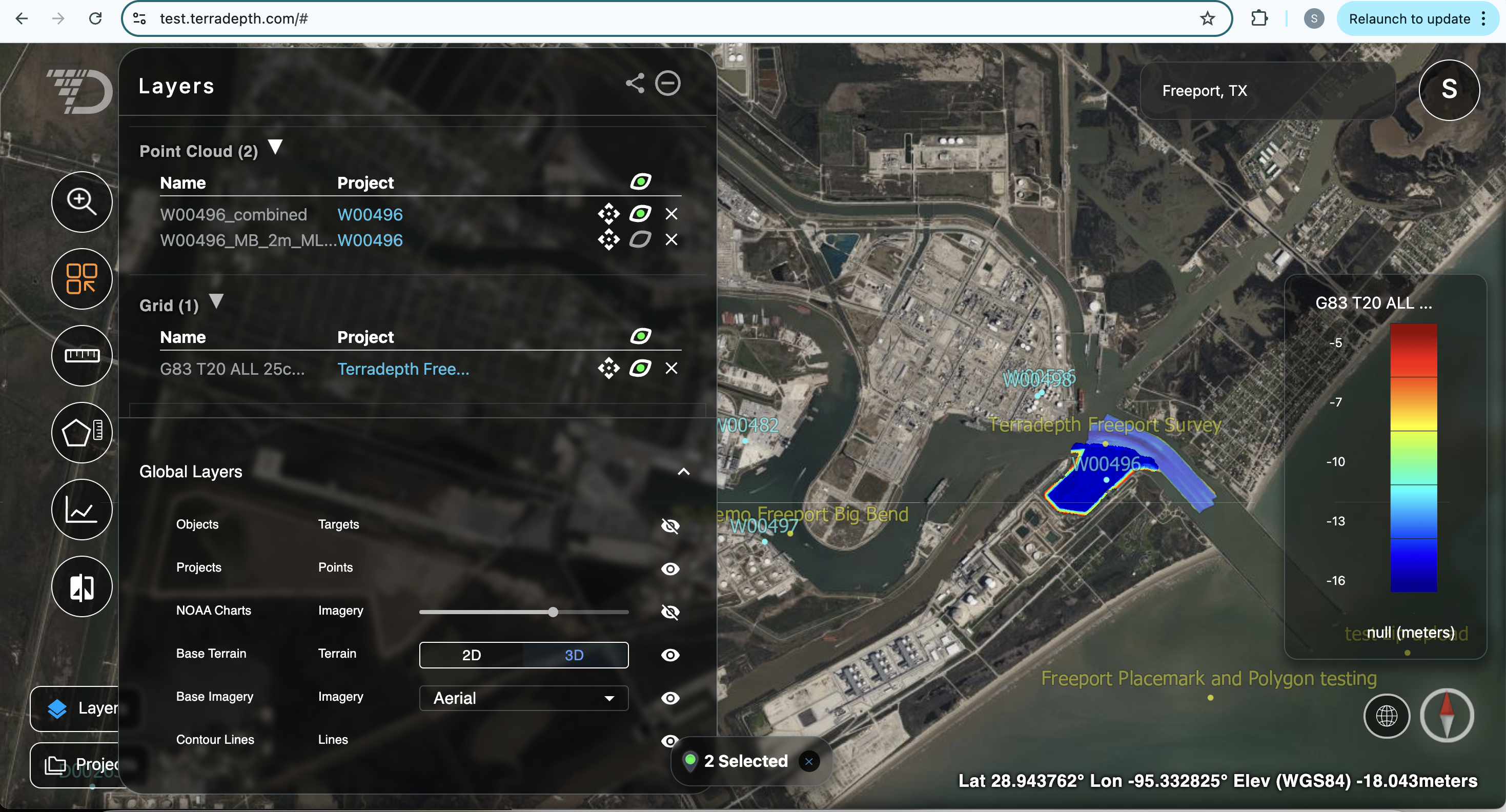
The new layers window in Absolute Ocean allows you to easier and more effectively manage data across Projects. You can now display layers from across many project in the same layers window.
- To visualize/ hide a layer, press the eye next to the layer
- To remove the layer from the list, press the x next to the layer
- As with the previous metadata window, you can reorder image layers using the lock button next to the Imagery list in the Layers window
- In addition, the following actions are available from the Global Layers section within the Layers menu (this section can be access using the down arrow in the bottom right of the Layers window)
- You can turn on and off all Project dots using the eye next to Projects
- Turn on NOAA charts and set transparency using the slider next to it
- Switch between 2D and 3D mode using the buttons next to Base Terrain
- Change Base Imagery
- Turn on Contour Lines, not that this required you to be in 3D mode first, contour lines are also only displayed when you are zoomed in closer to the terrain
Issues Resolved
In some cases, although the elevation values of bathymetry data was accurate, the color map legend did not display using the correct vertical unit. This has been corrected.