What's new in Absolute Ocean (AO) in 2022, newest first. Every release also includes fixes and reliability, performance and security improvements that aren't listed here.
Newer releases: AO Release Notes 2023. All years: AO Release Notes.
November 30, 2022
Enhancements:
- Upload/Download support for folder and subfolder directories
- Folder structure is now captured and persisted within AO with files discoverable and searchable by containing folder.
- File duplication protection is built-in to ensure only new or updated files are included on subsequent data uploads.
- ZIP archives can be included and optionally unpacked.
- Entire folders or a selection of files can now be downloaded together, preserving folder structure.
- Utilizing PROJ libraries, coordinate systems for data visualization have been expanded to include support for:
- Horizontal Datums: NAD83 and NAD27 imperial
- Projections: State Plane and Albers CONUS/USGS.
- Elevation values can now be displayed in feet or meters in the main display and profile window.
Maintenance enhancements:
- Correct Min and Max values are displayed in the raster data legend for new data.
- Newly visualized files can more easily be navigated to from the Survey menu.
- LAS/LAZ files which contain coordinate definitions or CRS information stored in WKT strings are now supported in addition to EPSG codes.
November 9, 2022
Enhancements:
- Users can now navigate quickly to the survey page from survey metadata with a single click.
- New checkbox options are available under survey details to better describe surveys with multiple sensors.
- An animated icon is now used on the visualization tab of the survey page to show a refresh is in progress for improved user awareness.
- When a user clicks visualization, the map now moves to the location of the data being visualized and the survey opens.
Maintenance enhancements:
- AO now adjusts the view and opens a survey after selecting an item in the survey page for a smoother user experience.
- Visualization is now possible for LAS/LAZ files with headers containing multiple point number records.
- Improved error handling and session stability.
October 28, 2022
Enhancements:
- Deep linking! You can now seamlessly share precise views of any survey in AO with a colleague who has access to that survey via a link generated by a button at the top of the survey metadata box
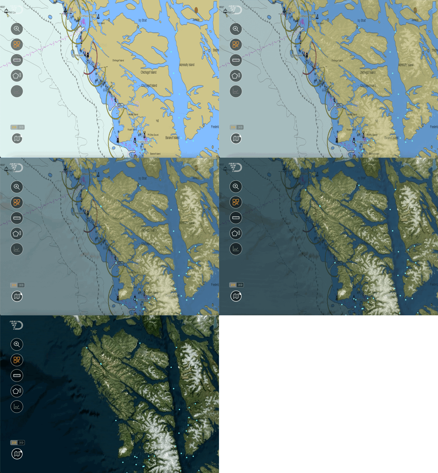
- NOAA nautical charts layer may now be turned on and cycled through opacity using the hotkey “9”, check it out in 3D mode with vertical exaggeration
- Create survey page now includes Vessel as platform type
- Data upload now supports files up to 10GB
- Data upload and download performance improvements
- Profile tool values bug fix when vertical exaggeration is used in 3D mode
- File extensions are now displayed in the View Survey -> Files tab
- Visualization rendering status improvements, status is now colored
- EPSG codes are now validated prior to rendering to ensure the code used to render an XYZ file visualization is supported
- Various stability improvements