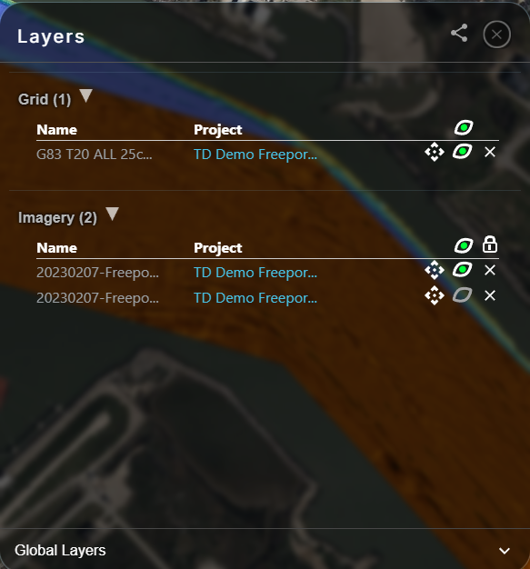
The Layers window is used to manage what geospatial information (a Layer) is shown on the map. A Layer can be background satellite imagery, or point clouds, grids, images or vector files from your Projects. With the Layers window you can turn a Layer on or off, manage the display order, locate the source Project and more.
The Layers window can be accessed from the lower left-hand corner of Absolute Ocean.
Clicking Layers will bring up the Layers window:
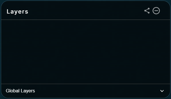
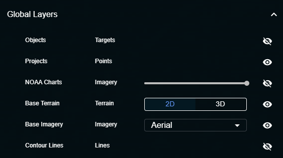
By default, only Global Layers are available. Global Layers are always available in the Layers window. You can expand Global Layers to control what default Layers are shown in the map:
As you browser Projects and add visualizations to the map, they will appear in the Layers window. You can access the Project associated with any layer by clicking on the Project name in this window. You can turn individual layers on and off using the "eye" icon, zoom to a layer, or remove it from the map. You can re-order the layering of Imagery by clicking the lock icon at the top of the Imagery list.